Credits
9
Prerequisites
Relevant previous coursework
Courses taught in
English
Dates
Jun 2 – Jul 21
Program Countries
Nepal
Program Base
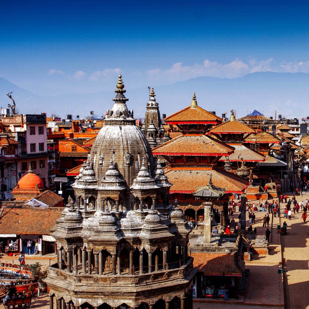
Kathmandu
Critical Global Issue of Study
Climate & Environment


Undertake Earth science fieldwork in the spectacular setting of the Nepal Himalaya, one of the most active mountain ranges in the world.
9
Relevant previous coursework
English
Jun 2 – Jul 21
Nepal
Kathmandu
Climate & Environment
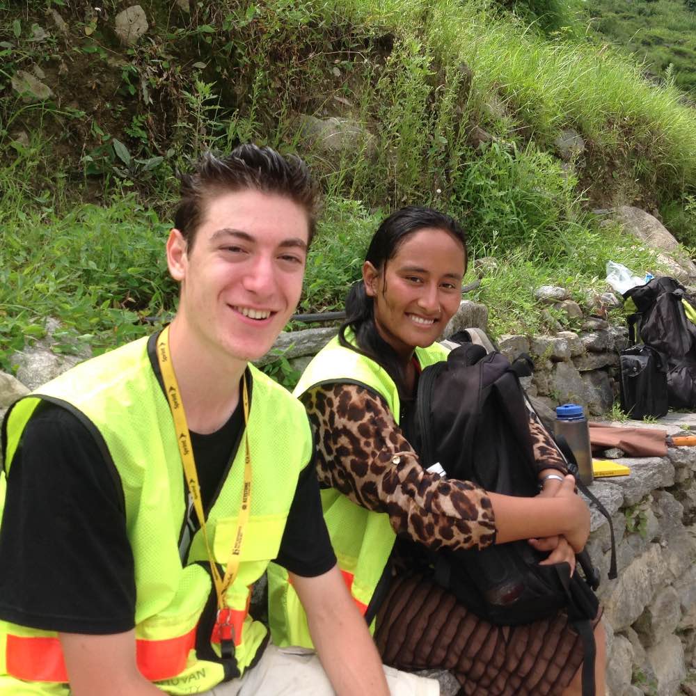
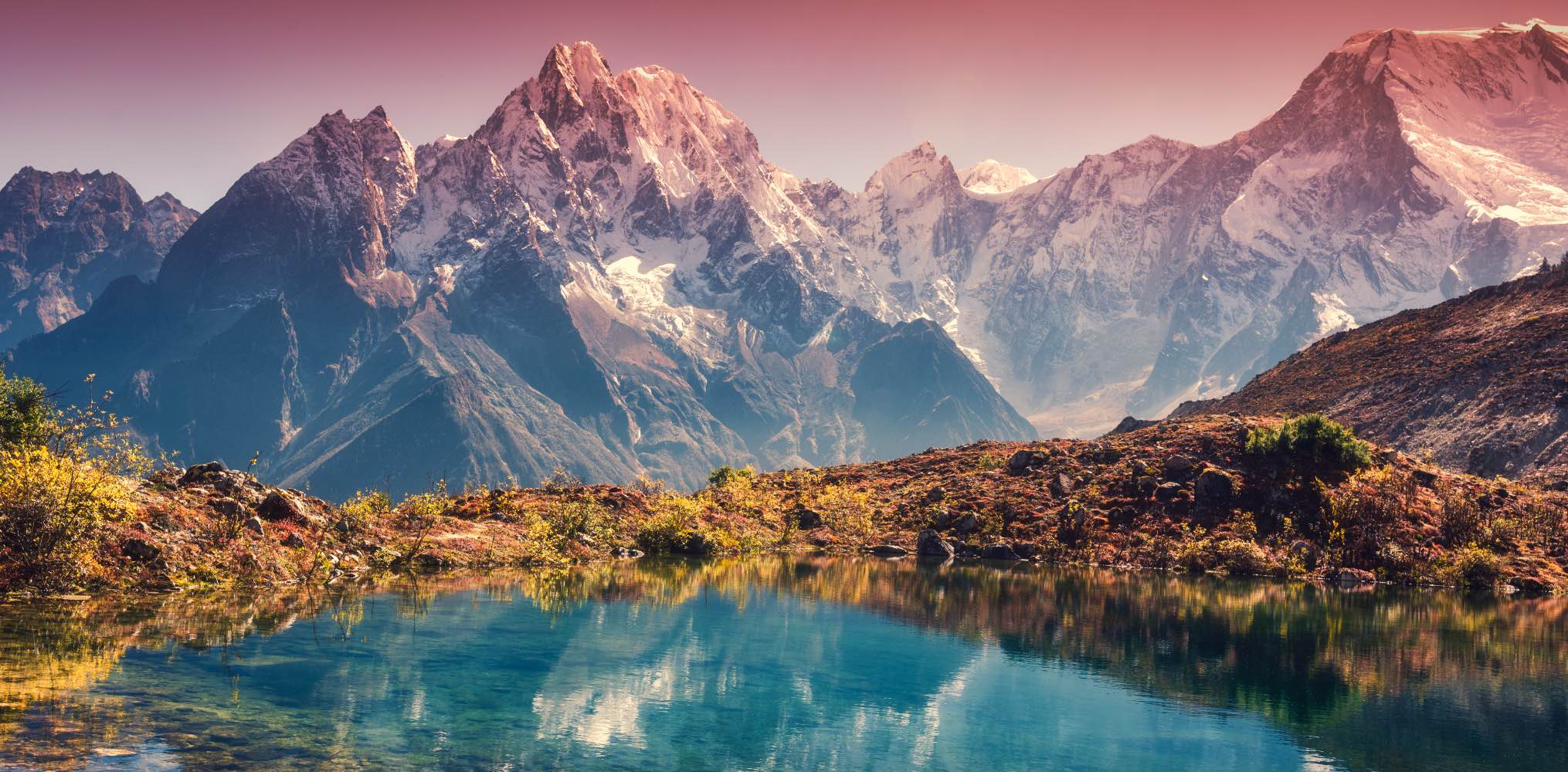
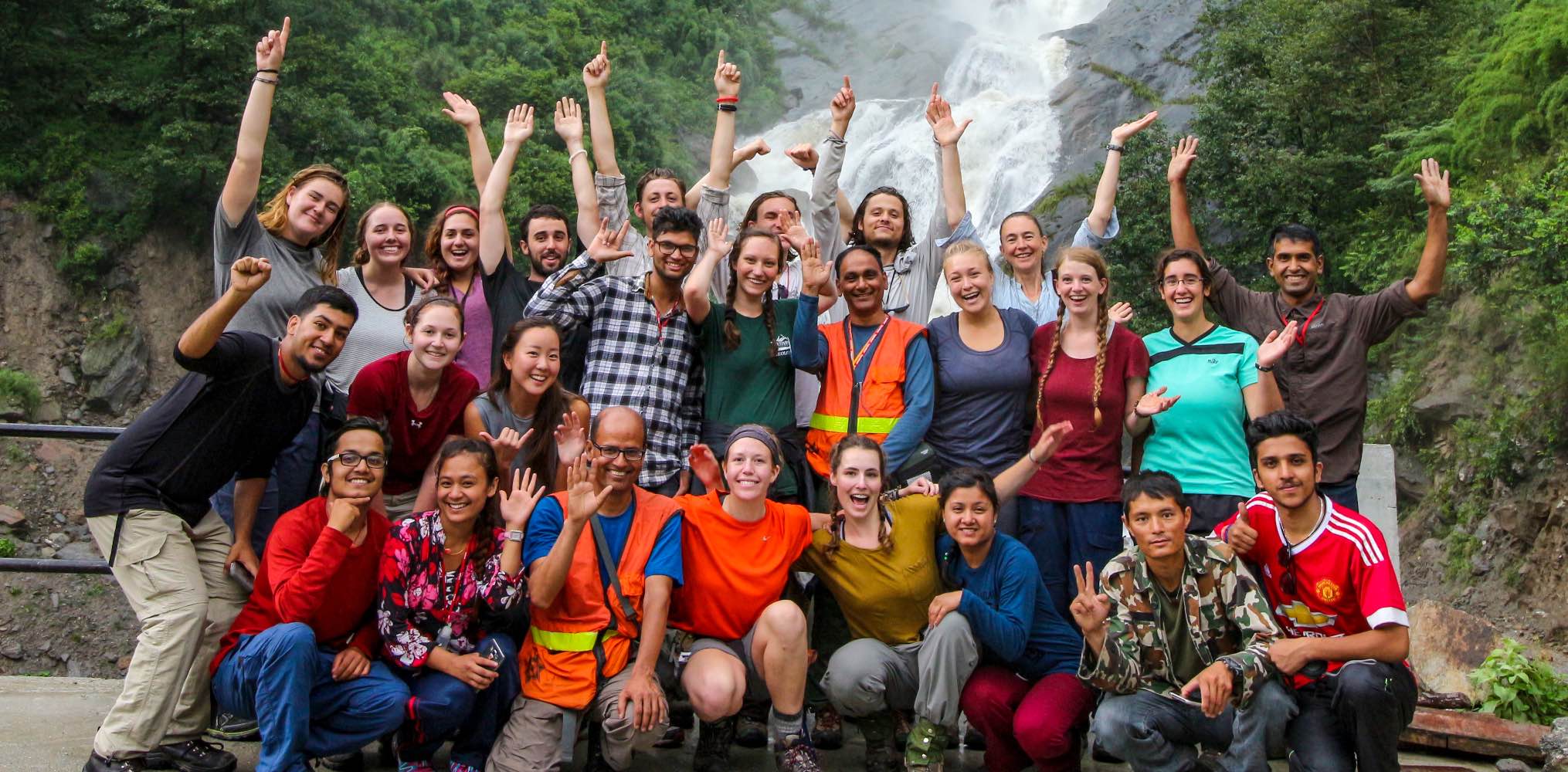
Tucked between China and India, Nepal is dominated by the Himalaya, known for many of Earth’s highest peaks and deepest gorges. Learn to “read” rocks and dive deep into geology to understand past and present Earth processes. Your geological trek will take you from the rain-soaked region south of the mountains, between two peaks higher than 8,000 meters, and to the arid edge of the Tibetan Plateau to the north. The active tectonics of Asia mean a high earthquake risk for many Himalayan communities. The steep mountain slopes and intense rainfall make landslides another hazard. These, combined with weak architectural choices, have led to major structural damage in Nepal. Learn about hazard assessment, risk reduction, and engineering geology, as well as climate change and hydropower. Engage with Nepali faculty and geology students from Nepal’s Tribhuvan University, who will also participate in the field portion of the program, subject to academic schedules. Students often become close with their fellow geology students from Nepal during the experience.
At least two upper division (above the 100-level) geoscience, earth science-oriented environmental science, or physical geography courses.
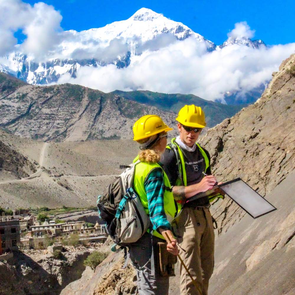
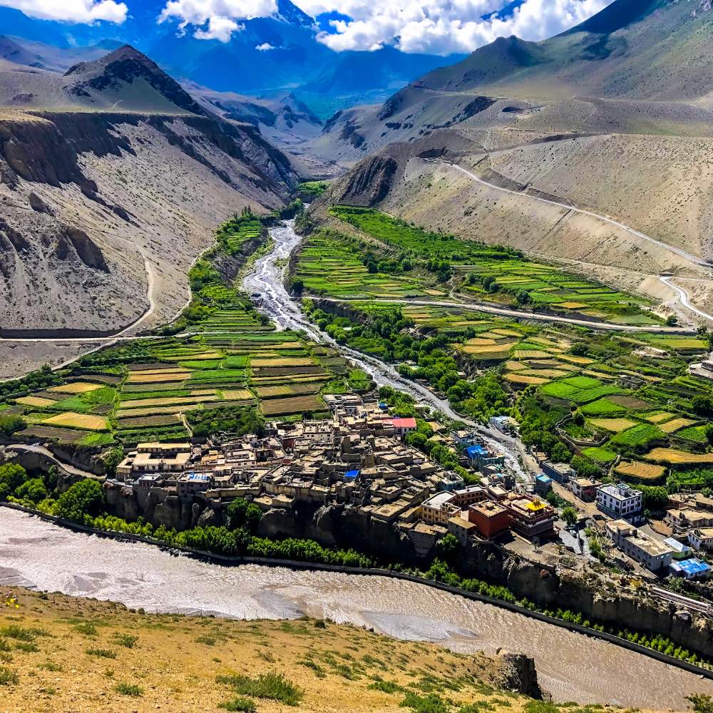
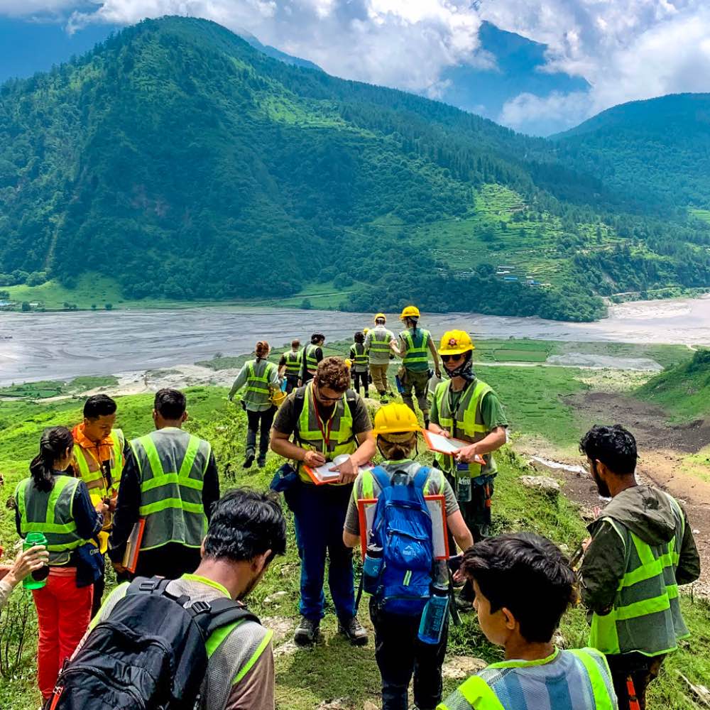
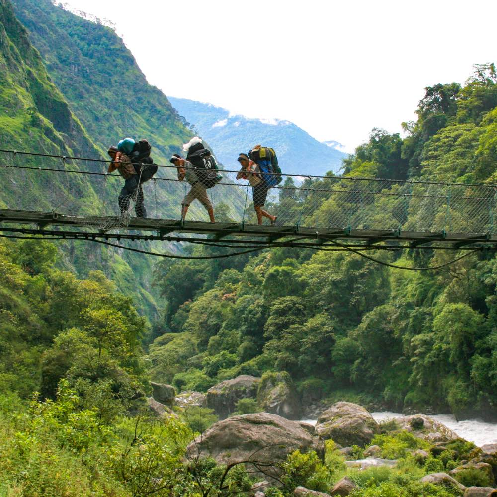
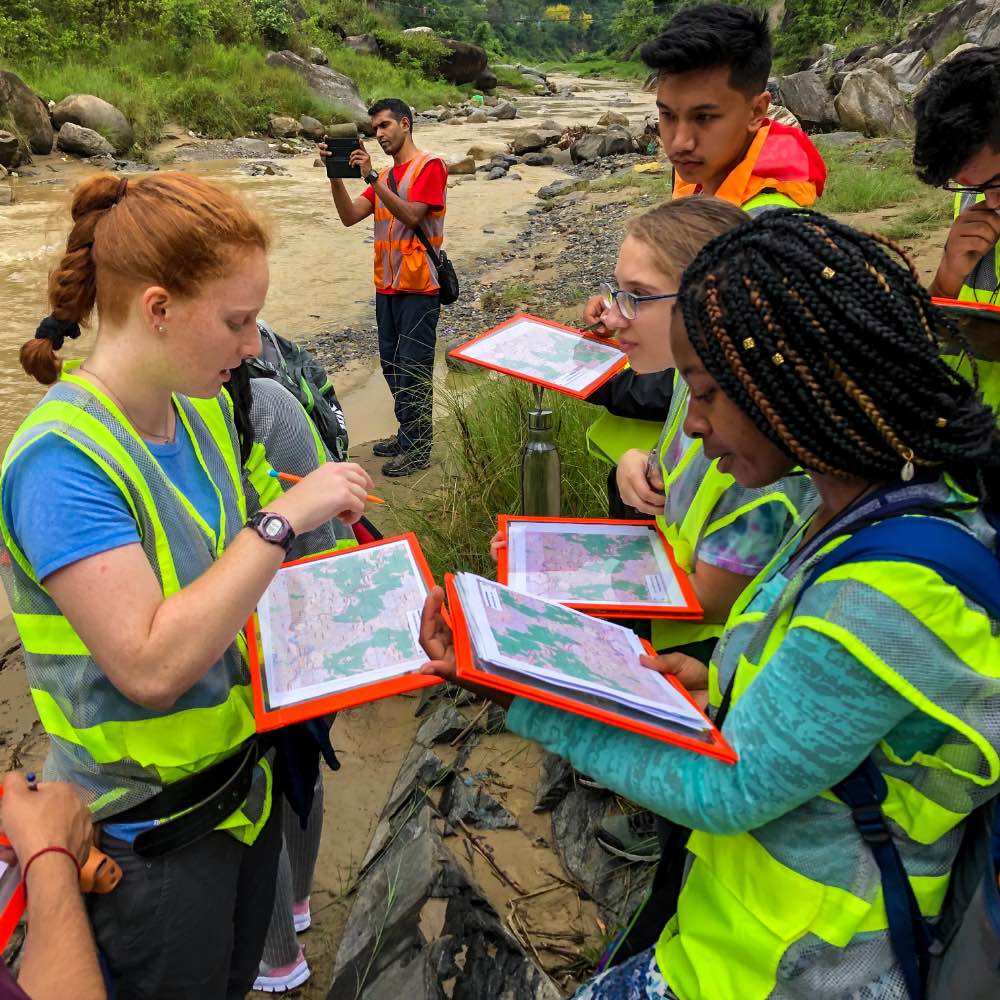
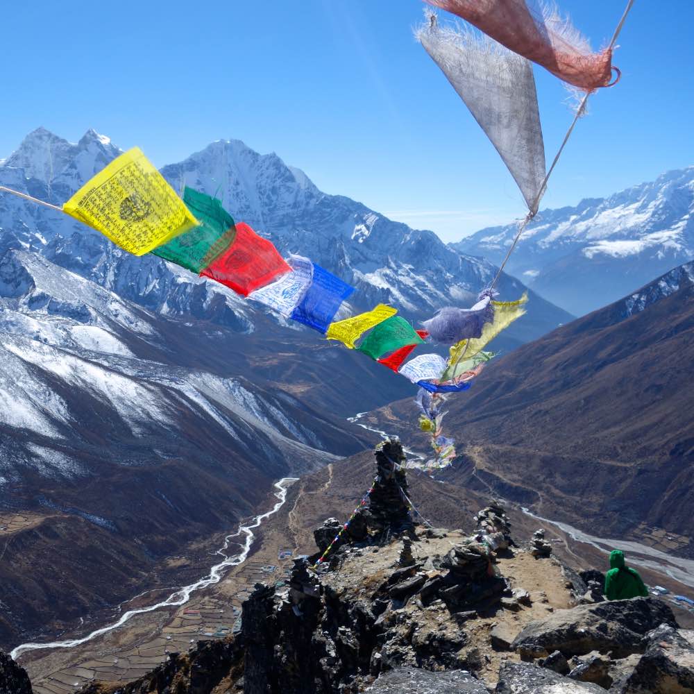


Spend about two-and-a-half weeks trekking in the Annapurna region, where the primary rivers date from before the development of the Himalaya more than 50 million years ago, creating some of the deepest gorges on Earth. You’ll develop classic geoscience field skills through analysis of the geologic history of the region as you “read” the exposed rocks. During the southward return, the emphasis turns to human-Earth interactions and geohazards. View the same area with a different lens—that of the ongoing interconnections between society and Earth processes. We travel through a variety of ethnic/cultural communities, from more Hindu-dominated in the south to Tibetan Buddhist high mountain peoples.
After the Kali Gandaki excursion, spend time in the Middle Hills region, including in the famous city of Pokhara on the banks of Lake Fewa. Conduct geohazard analyses and learn about engineering geology and other risk reduction. The Middle Hills region is home to a diverse range of ethnic groups and Nepali subcultures.
Return to Kathmandu briefly before embarking on a field study project, which will entail 10-11 days on individual or small-group field study in the central part of Nepal. Final presentations and program wrap-up take place in Kathmandu.
Please note that SIT will make every effort to maintain its programs as described. To respond to emergent situations, however, SIT may have to change or cancel programs.
Upon successful completion of the program, students will be able to:
The following syllabi are representative of this program. Because courses develop and change over time to take advantage of dynamic learning opportunities, actual course content will vary from term to term.
The syllabi can be useful for students, faculty, and study abroad offices in assessing credit transfer. Read more about credit transfer.
Earth Science Field Methods – syllabus
(GEOL3500 / 3 credits)
Develop geoscience field skills within the setting of Earth’s highest mountain range. Field observations underpin many Earth and environmental science disciplines. In a grand traverse of the Himalayas from south to north of the mountains in the Annapurna region, students learn to reconstruct the geologic past and interpret ongoing Earth processes. This course and itinerary incorporate most of the major Himalayan rock formations and climatic zones, offering broad experience with different types of sedimentary, metamorphic, and igneous rocks as well as structural and sedimentary features. In constructing and justifying a plausible geologic history through cross sections and maps, students learn to synthesize a wide range of observations to better understand our planet’s dynamic processes.
Geohazards in the Himalaya – syllabus
(GEOL3000 / 3 credits)
This field course focuses on environmental geohazards as a perspective through which to study the interactions between human and Earth systems in the Himalaya. The rugged terrain of an active mountain range limits habitation and travel but also contributes to diverse and multifaceted societies within a concentrated region. The sediments and soils that come from the mountains provide rich agricultural lands, but settlements are precariously balanced on steep slopes or beside rushing rivers and are subject to geohazards such as landslides, floods, and earthquakes. Furthermore, the climate system is rapidly changing due to practices of industrialized nations, leading to additional challenges. Students do field investigations into how Earth systems affect and influence society and how human decisions and actions bear consequences on the environment and determine societal risk in the face of geohazards. Particular emphasis given to the study of low-cost and technologically simple solutions that dovetail with other sustainable development practices. Students also learn ethical human subjects review procedures for work involving people.
Geology Field Study Project – syllabus
(GEOL3060 / 3 credits)
Field study allows students to grapple with the complexity of a single topic in more depth. You will maintain a journal of interests and research ideas during the first portions of the program. As the field study portion of the program approaches, each student or pair of students will meet with an advisor to refine ideas to a focused research question that addresses aspects of either or both of the preceding field courses. After writing a brief proposal that articulates a viable research design, you carry out independent field research for about 10 days. The final days of the program will be spent analyzing and communicating project findings and will include final debriefing sessions in Kathmandu.

Your accommodations will include guesthouses, small hostels (called tea houses), and possibly dormitory-style housing. During your time in Kathmandu, you will stay in a small tourist hotel near the SIT program office in the city’s Boudha neighborhood. Instead of a typical stationary homestay, Nepali geoscience students fully participate in the field portion of the program, giving you a chance to travel and work together as peers.


SIT Study Abroad is committed to making international education accessible to all students. Scholarship awards generally range from $500 to $5,000 for semester programs and $500 to $3,000 for summer programs. This year, SIT will award nearly 1 million in scholarships and grants to SIT Study Abroad students.
See Full Breakdown